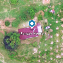
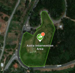
Sites are the elements used in explorer.land to set up the project map. Sites can be points (represented by markers) or areas (represented by polygons). They allow showing the relevant places of the project, like nurseries, community centers or reforestation areas.


Sites composed by one or more polygons will always also include one marker.
Note: If not set manually, the point will be located in the geographical center of the sum of the site’s polygons.